Living up to their motto, “Made by surveyors, for surveyors”, ATMOS’ engineering team continuously implements the feedback received from customers and industry experts in the drone’s design. To that end, the company started the New Year with the launch of the new “MarLynk”, Marlyn’s dedicated flight planning and control software, as well as new payload options.
Let MarLynk take care of everything, and enjoy the experience of a fully autonomous flight
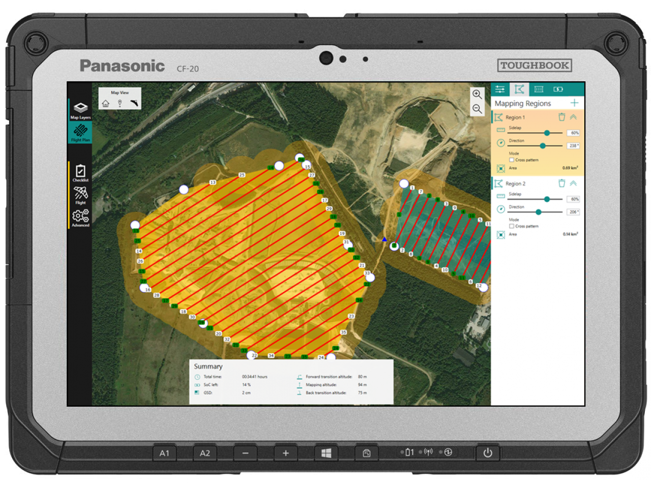
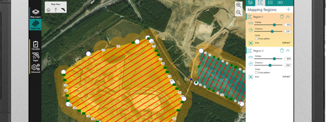
The new all-in-one software, “MarLynk 3”, includes a completely improved and more user-friendly interface (see figure 1), as well as new features. The flight planning and monitoring now becomes more straightforward with new icons and a streamlined process. To save even more time in the field, an intuitive smart checklist is also integrated.
Some projects take place in isolated and hard to reach areas. Knowing this, ATMOS’ development team also worked on offline background maps, enabling the user now to perform his/her projects even without access to the internet. Furthermore, the pilot can plan multiple mapping regions within a single flight, which can be programmed at different altitudes to take account of varying terrain. A software tutorial video on how to plan your mission with MarLynk can be found on our new YouTube channel.
During flight, MarLynk gives operators a clear and detailed overview of all the important parameters such as wind speed, project status, precise battery SoC, exact position, and more.
“During flight, MarLynk gives operators a clear and detailed overview of all the important parameters such as wind speed, project status, precise battery SoC, exact position, and more.”
After being extensively tested by Atmos’ “Expert User Panel”, the new software is now available with every new Marlyn unit.
New Year’s resolution: How about 42.4 MP?
To further satisfy our customers’ needs for ever higher accuracy, apart from the RGB Sony QX1, ATMOS UAV extended its payload options including the RGB Sony RX1RII Full Frame camera (see figure 2). The new Sony sensor offers an unprecedented ultra-high definition of 42.4 MP (8,000 × 5,320 pixels). Its resolution and the 35 mm lens enable the operator to achieve a GSD and resolution up to 1 cm even in the most challenging and demanding projects.
Due to the sensor’s high versatility, Marlyn units carrying the new Sony RX1RII can easily handle a big variety of surveying applications ranging from mapping and 3D modeling to performing volumetric and slope analyses.
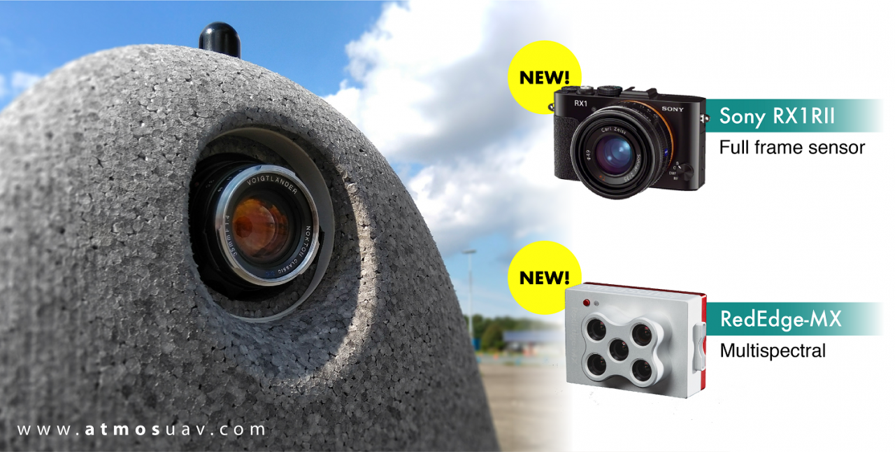
Looking for insightful multispectral imagery? With the new MicaSense RedEdge-MX and its 5 narrow bands (R, G, B, RE, NIR), you can now generate plant health indexes and RGB images in a single flight!
Are you an experienced uav pilot and/or an industry expert? ATMOS UAV always welcomes feedback on preferred payloads and new features, let us know at mymarlyn@atmosuav.com. Follow ATMOS UAV on social media and stay tuned for more updates!
